

Proven in real-world scenarios
Border monitoring, forest fires and an urban crisis. Four recorded demos showing how our AI agents turn satellite data into a picture your team can act on.
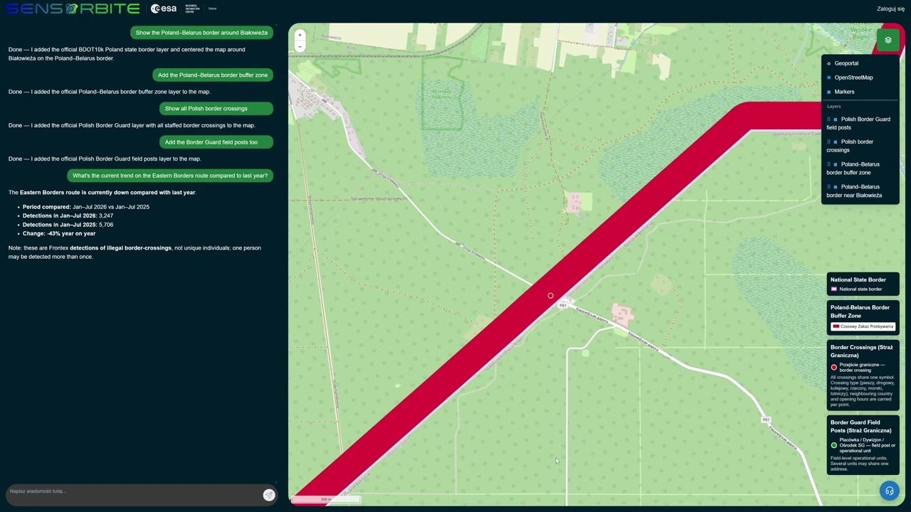
Monitoring the Poland–Belarus border with an AI agent
An analyst asks a question in plain language and the AI agent builds a picture of the border section near Białystok within moments. No layer hunting, no GIS skills required.
View case study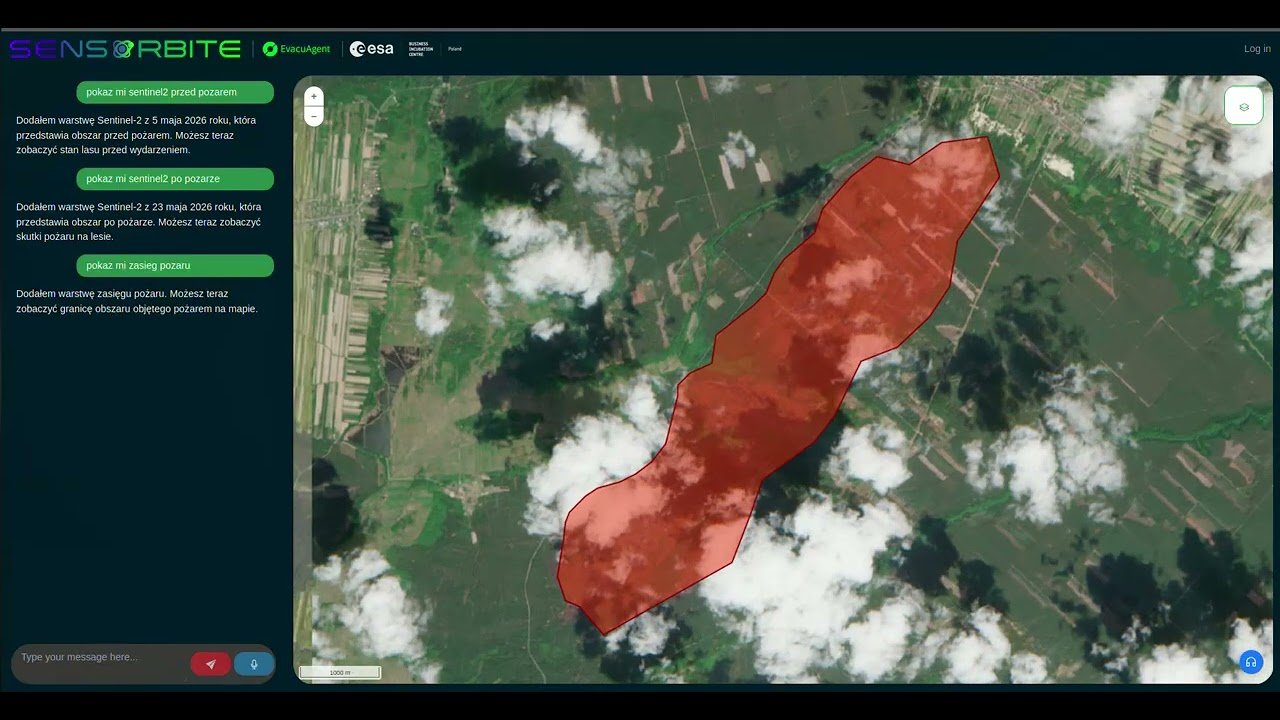
Forest fire in Poland: EvacuAgent on your own servers
EvacuAgent runs entirely on the organisation’s servers. Data and AI models never leave its infrastructure, and the fire extent map is produced without sending anything to an external cloud.
View case study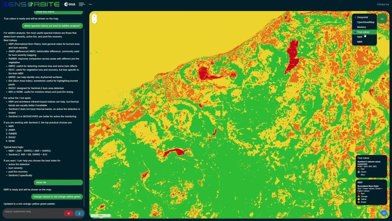
Forest fires in Wales: a burn damage map in minutes
The agent recommends which satellite index best shows fire impact, then computes it and puts it on the map.
View case study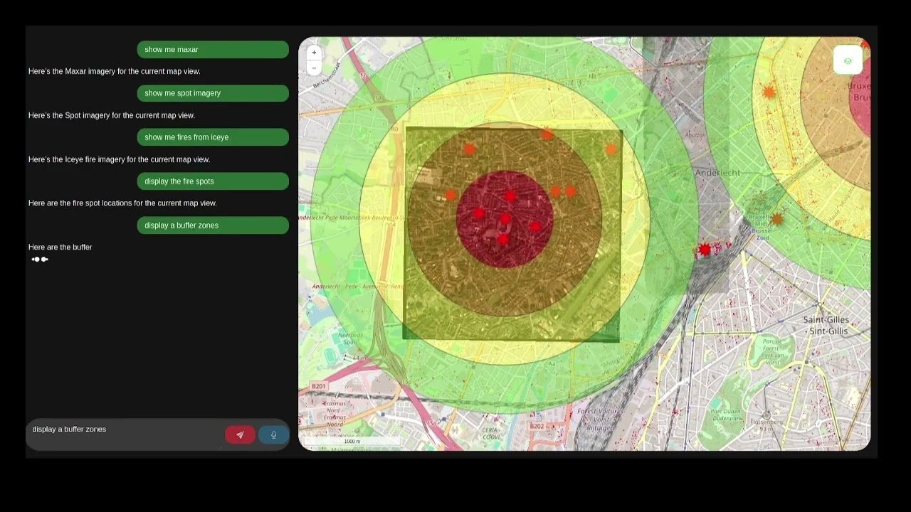
Terrorist attack in Brussels: crisis preparedness
A scenario developed in ESA Accelerate Crisis Preparedness together with operational partners safe.brussels and the Brussels Police.
View case study