

Monitoring the Poland–Belarus border with an AI agent
An analyst asks a question in plain language and the AI agent builds a picture of the border section near Białystok within moments. No layer hunting, no GIS skills required.
Challenge
Border services rely on scattered sources: the state border, the buffer zone, border crossings, Border Guard posts and migration statistics. Pulling them into one picture takes time that operations simply do not have.
Solution
On the analyst’s request, the SENSORBITE agent overlays the official border, buffer zone, border crossings and Border Guard posts. It then answers a question about the trend on the Eastern Borders route, comparing Frontex data on detected illegal border crossings year on year.
Outcome
- 01A full picture of a border section in a few prompts
- 02Official reference layers on one map
- 03Frontex statistics explained in map context
More case studies
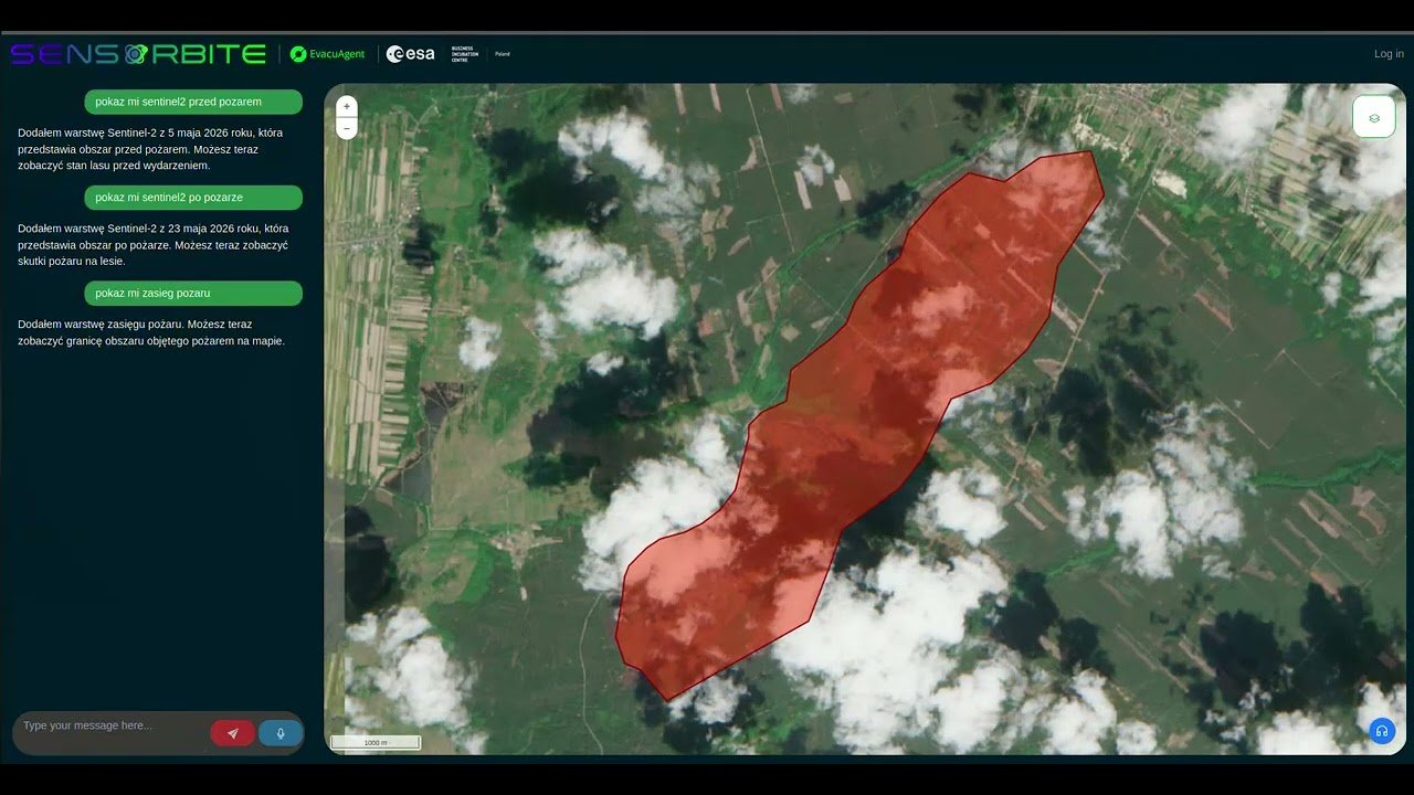
Forest fire in Poland: EvacuAgent on your own servers
EvacuAgent runs entirely on the organisation’s servers. Data and AI models never leave its infrastructure, and the fire extent map is produced without sending anything to an external cloud.
View case study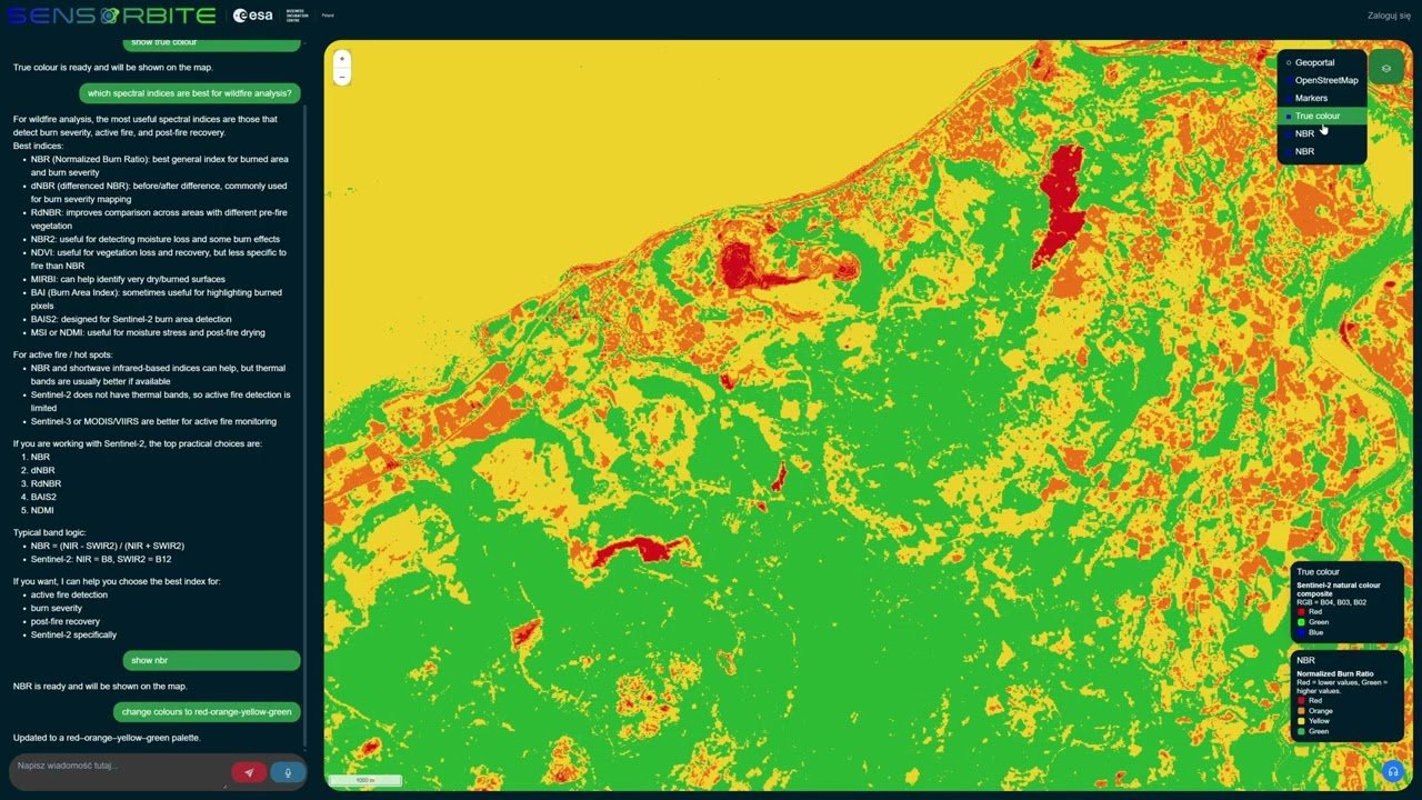
Forest fires in Wales: a burn damage map in minutes
The agent recommends which satellite index best shows fire impact, then computes it and puts it on the map.
View case study