

Forest fires in Wales: a burn damage map in minutes
The agent recommends which satellite index best shows fire impact, then computes it and puts it on the map.
Challenge
Assessing fire impact means knowing which index (NBR, dNBR, RdNBR, BAIS2, NDVI) to use and how to compute it from Sentinel-2 bands. Normally that is a job for a remote sensing specialist.
Solution
The user asks which indices work best for wildfire analysis. The agent explains the differences, computes the Normalized Burn Ratio from Sentinel-2 data and, on request, changes the colour scale so burned areas are easy for the whole team to read.
Outcome
- 01Remote sensing expertise available in a chat
- 02NBR computed and mapped automatically
- 03A map ready for the team briefing
More case studies
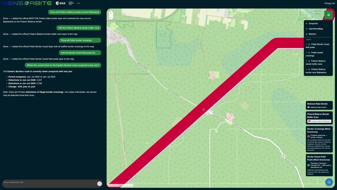
Monitoring the Poland–Belarus border with an AI agent
An analyst asks a question in plain language and the AI agent builds a picture of the border section near Białystok within moments. No layer hunting, no GIS skills required.
View case study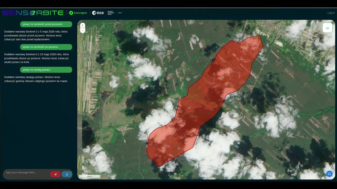
Forest fire in Poland: EvacuAgent on your own servers
EvacuAgent runs entirely on the organisation’s servers. Data and AI models never leave its infrastructure, and the fire extent map is produced without sending anything to an external cloud.
View case study