

Terrorist attack in Brussels: crisis preparedness
A scenario developed in ESA Accelerate Crisis Preparedness together with operational partners safe.brussels and the Brussels Police.
Challenge
In the first minutes after an attack, command staff must combine imagery from different satellites, fire locations and danger zones. Usually that takes several separate tools.
Solution
With a few prompts the operator calls up Maxar, SPOT and ICEYE imagery of the incident area, plots detected fire spots and draws buffer zones around them. The whole situational picture comes together in a single EvacuAgent window.
Outcome
- 01Imagery from multiple satellite constellations in one view
- 02Fire spots and danger zones mapped in a chat
- 03Scenario validated with operational partners
More case studies
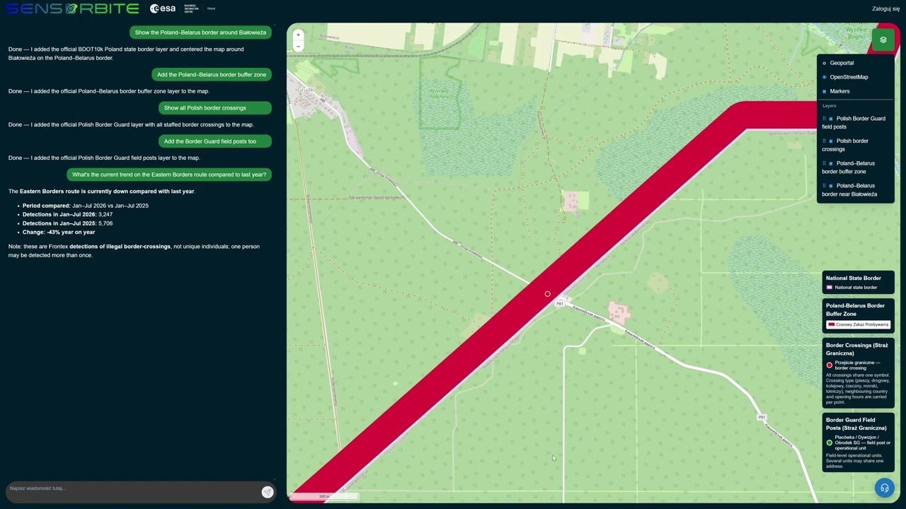
Monitoring the Poland–Belarus border with an AI agent
An analyst asks a question in plain language and the AI agent builds a picture of the border section near Białystok within moments. No layer hunting, no GIS skills required.
View case study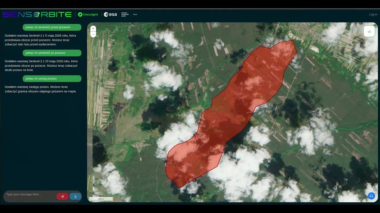
Forest fire in Poland: EvacuAgent on your own servers
EvacuAgent runs entirely on the organisation’s servers. Data and AI models never leave its infrastructure, and the fire extent map is produced without sending anything to an external cloud.
View case study