

National Field Days: AI and satellite data in agriculture
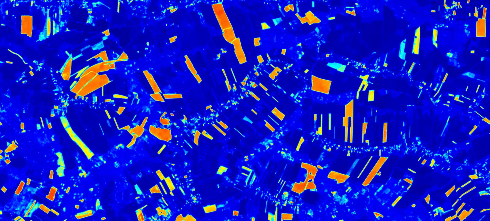
The SENSORBITE team joined the Science and Advisory Zone at the National Field Days, among farmers, researchers and advisers who care about innovation in agriculture.
We showed how our AI and geospatial solutions support:
- field mapping based on satellite imagery,
- precise nitrogen fertilisation plans,
- automated paperwork for advisory services and subsidy claims.
We are glad to see growing interest from agricultural advisers, farms and producer groups that want to simplify their work and make data-driven decisions. Thank you for all the conversations, pilot deployments and invitations to collaborate.
Read next
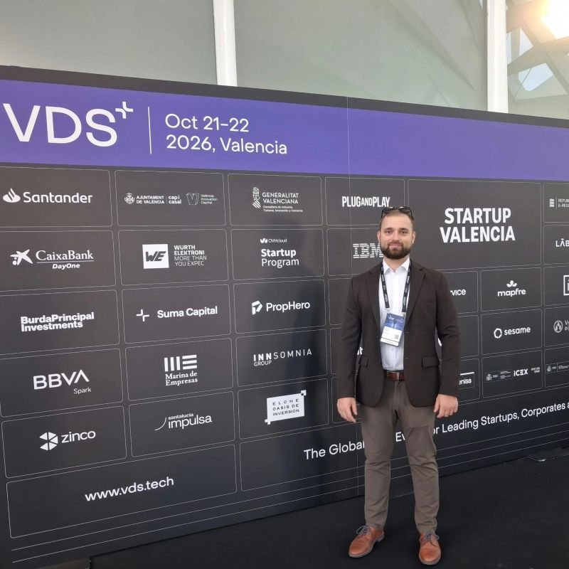
VDS 2026 in Valencia and meetings with TURIA project partners
Marcin Dolata represented us at Valencia Digital Summit. While in Valencia, we met TURIA project partners and discussed flood-risk monitoring with the Almussafes city council.
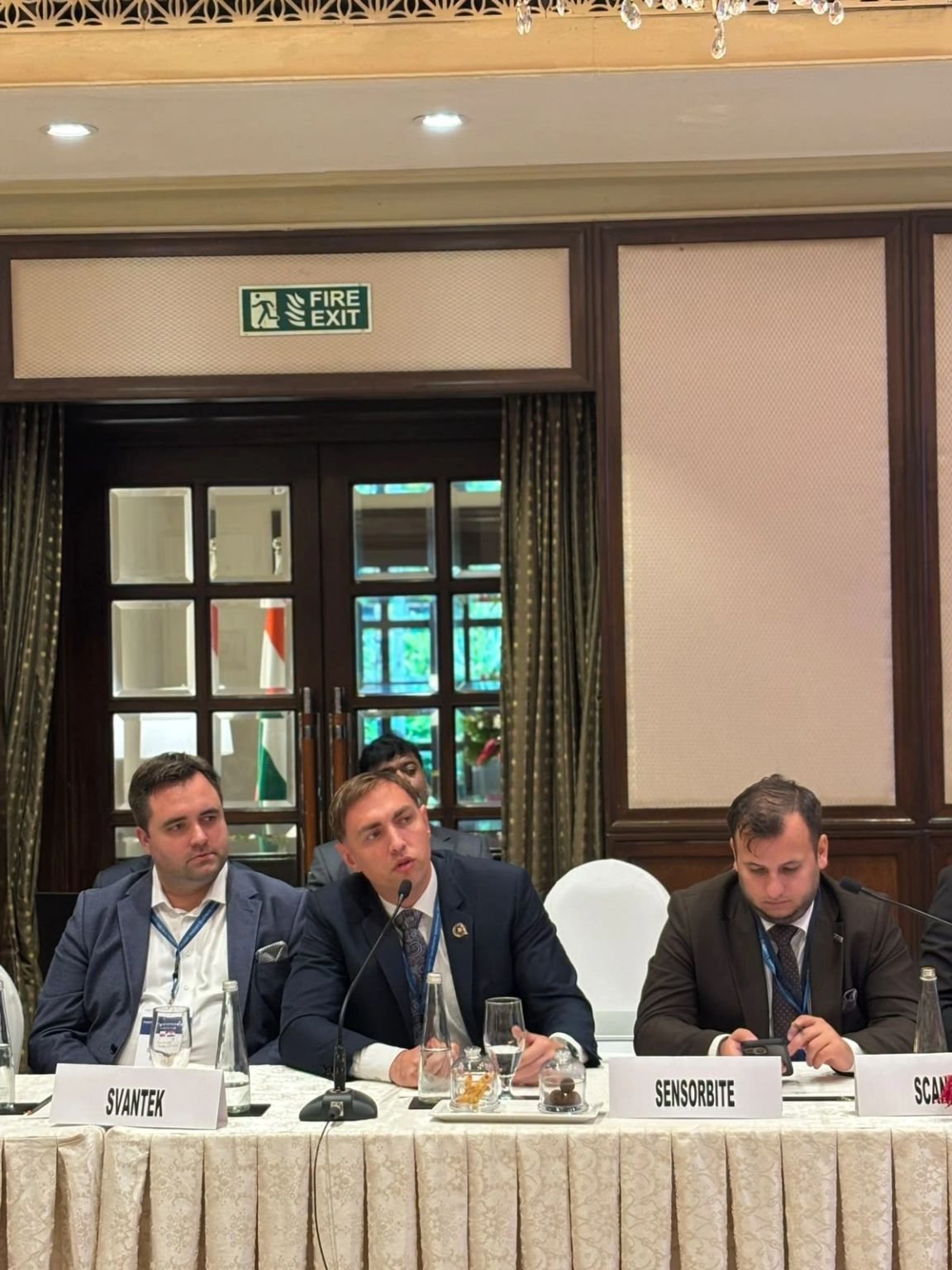
Polish-Indian Business Meeting in Bengaluru: Space Industry Roundtable
On 23 October we joined the Space Industry Roundtable at the Polish-Indian Business Meeting in Bengaluru, together with POLSA and Polish space companies.
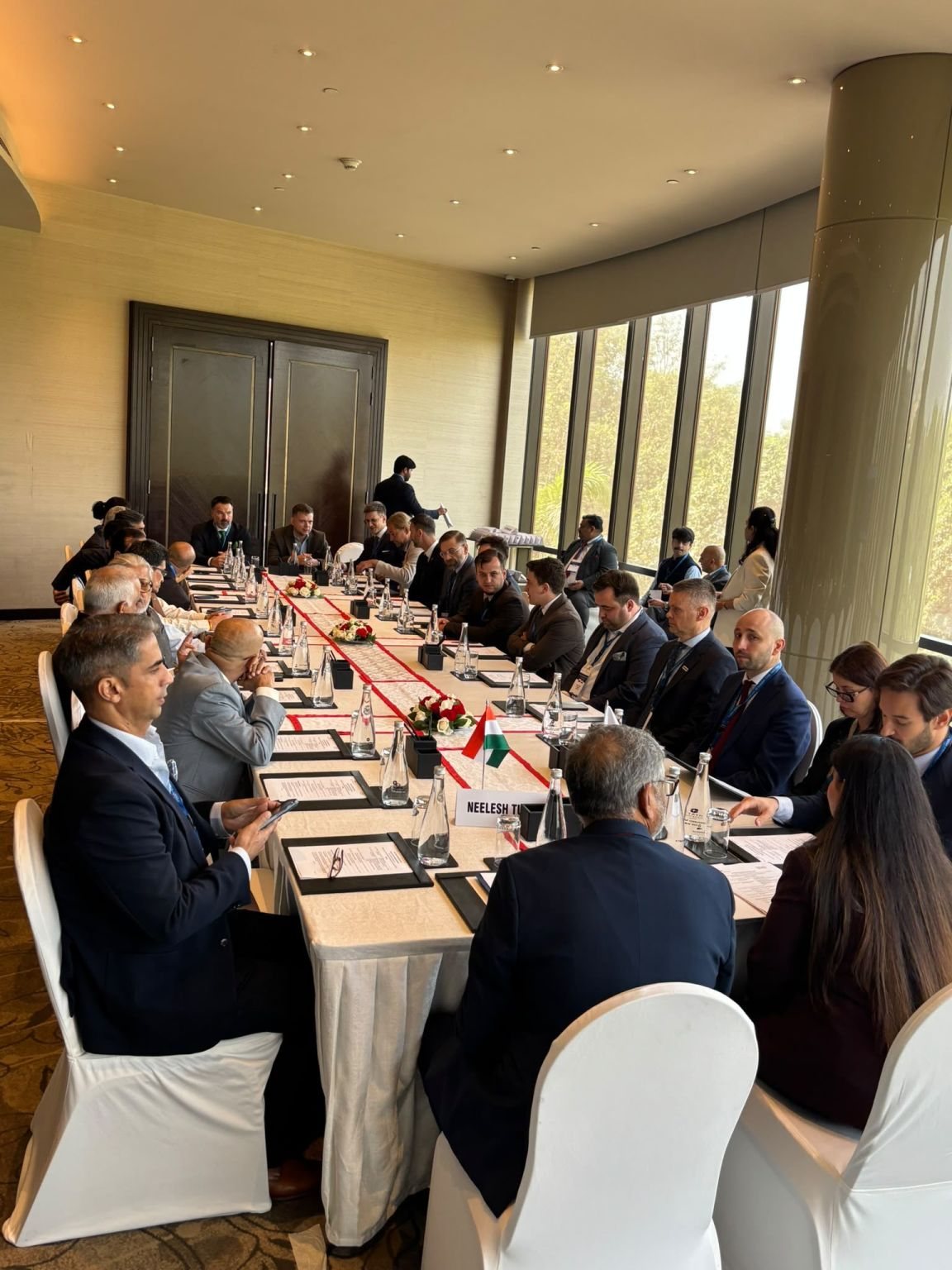
Business mission to India accompanying the Polish Prime Minister’s visit
Two days of the business mission to India: in New Delhi, Polish space companies including SENSORBITE joined a roundtable on defence and dual-use technologies.