

A first look at our system: an urban greenery map

Can you guess which capital this is? For the first time, we are sharing a screenshot from an early demo of our system. It shows an NDVI (Normalized Difference Vegetation Index) layer that visualises the distribution of vegetation across the city.
Our system combines satellite data, remote sensing methods and AI models to deliver clear maps and analyses, including for urban greenery management, environmental change monitoring and spatial planning. This is just the beginning: we are building a platform that gives access to geospatial data and analytics in plain language.
Which features would be most useful to you? If you would like to test the demo, write to us at info@sensorbite.com.
Read next

VDS 2026 in Valencia and meetings with TURIA project partners
Marcin Dolata represented us at Valencia Digital Summit. While in Valencia, we met TURIA project partners and discussed flood-risk monitoring with the Almussafes city council.
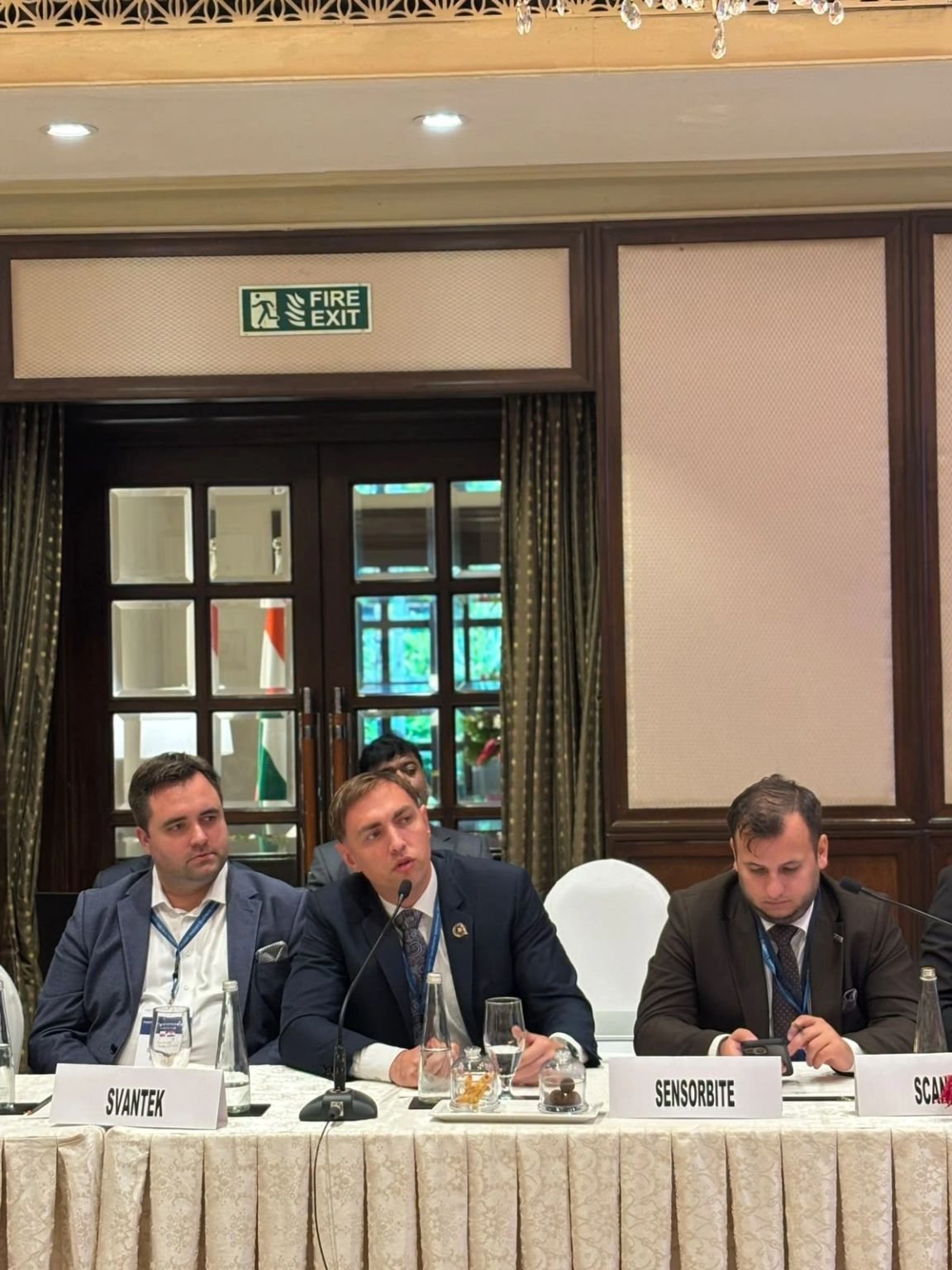
Polish-Indian Business Meeting in Bengaluru: Space Industry Roundtable
On 23 October we joined the Space Industry Roundtable at the Polish-Indian Business Meeting in Bengaluru, together with POLSA and Polish space companies.

Business mission to India accompanying the Polish Prime Minister’s visit
Two days of the business mission to India: in New Delhi, Polish space companies including SENSORBITE joined a roundtable on defence and dual-use technologies.